
Enjoy an exciting day hike to Monte Cinto, Corsica’s highest peak, towering 2706 m above the endless expanse of the island’s spellbinding landscapes.
The mythical trail, known to challenge even experienced climbers, leads through rocky, boulder-strewn terrain, culminating with a craggy summit that guarantees an unparalleled sense of accomplishment.
This page contains affiliate links meaning I get a commission if you decide to make a purchase through my links, at no extra cost to you. Click here to learn more.
LOCATION
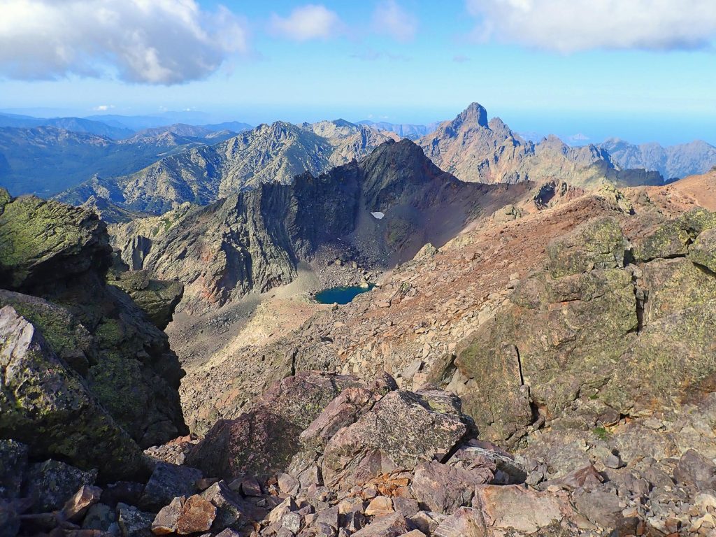
The lofty peak of Monte Cinto, defining the fascinating scenery of north-west Corsica, is a part of the island’s highest mountain range- the Monte Cinto Massif. Other peaks include Punta Minuta, the beautiful Paglia Orba, Monte Padro, or Monte Grosso.
The massif separates two territories, the wild Asco Valley in the north and the Niolo region with the Golo River gorge in the south. Monte Cinto is also known as a highlight of the classic GR20 long-distance walk traversing the island from Calenzana in the Balagne to the village of Conca near Porto-Vecchio in the southwest.
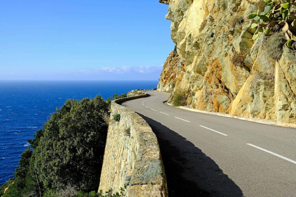
To access the Asco-Stagnu ski station (1422 m), the starting point of the trail, take the narrow D147 road off the main T30 just north of Ponte Leccia. This scenic route ascends upstream for 32 km along the dramatic Asco Gorge in a succession of thrilling twists carved into the steep rock face. Sharp bends and high drop-offs make for a challenging yet rewarding drive- superb views of snow-capped mountain peaks and fragrant forests surrounding the untamed universe of crystal-clear natural river pools unfold at every turn.
MONTE CINTO – TRAIL
To tackle the iconic Monte Cinto climb, set out from the car park at the Asco-Stagnu ski station (1422 m). From the trailhead, a strenuous 6 km route to the top gains 1400 m- even with high levels of fitness and determination, the jagged peak will put your skills to the test.
The first stretch running along the Tighiettu torrent is shaded by Laricio pine trees that gradually give way to more austere scenery. Past the small footbridge over the river, the path becomes steep and stony. Clearly visible white and red GR20 markings help to navigate rocky ledges, some equipped with chains, emerging from the rough terrain. At 2305, you will pass Bocca Borba and a small Lac d’Argento, followed by a famous scenic viewpoint, Pointe des Eboulis, at 2607.
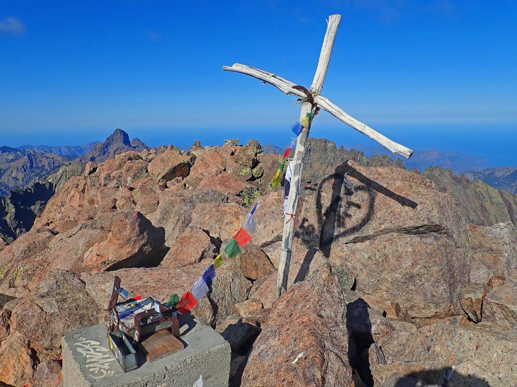
The ridge marks the highest point of the GR20 hike, which will now part ways with the Monte Cinto route. Many travellers, having already climbed for 4 hours, find Pointe des Eboulis to be a good place for a short break before the final ascent to the summit. Although misleadingly close, the trail zig-zags for almost another hour up and down the southern ridge slope, eventually scaling the peak. Lunar rocky terrain may require some Grade I scrambling, while large white and then red dots help to stay on track.
ON THE TOP
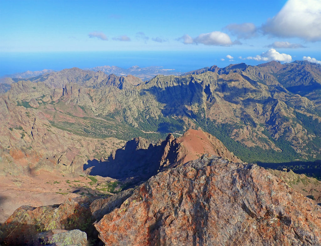
Breathtaking views from the top, complemented by an exhilarating sense of achievement, make the strenuous ascent all worthwhile. On a clear day, an amazing 360° panorama encompasses a mesmerising array of Corsica’s highest peaks with the nearby Lac du Cinto, picturesque bays of the rugged coastline, stretching even to Alpes-Maritimes on the French mainland, and the beautiful islands of the Tyrrhenian Sea.
RETURN
Return via the same route, keeping in mind that a hard technical descent will further drain your energy if not properly fueled.
The trail is very popular and frequented by hikers and travellers from around the world. The alternative and possibly less visited route to the summit of Monte Cinto leads from the campground near Lozzi in the south-exposed Niolo Valley where snowfields melt earlier in the year.
PRACTICAL INFORMATION
- The round trip is about 12 km long with an elevation gain of about 1400 m. Marked as very difficult, the hike takes around 7-10 hours to complete.
- A hard, long 6 km climb is followed by a gruelling technical descent. Some sections require rock scrambling and boulder hopping with passages that may be difficult for people suffering from vertigo.
- Due to its difficulty level, the climb should only be attempted by very experienced climbers and lovers of Alpine hikes. Energy reserves should be well-managed throughout the trek to save enough strength for the demanding descent.
- The climbing season lasts from May to October. Hazardous eternal snow may still linger in shaded parts at the end of June / the beginning of July.
- Weather changes rapidly in high mountains- severe thunderstorms (particularly in August), strong, cold winds, and sudden temperature drops are a common occurrence. Before heading out, make sure to check the latest forecasts.
- When climbing Monte Cinto, proper preparation and attention to safety are key. Adequate mountain footwear, an additional layer of windproof/water-resistant clothing, a wide-brimmed hat, and protective sunscreen are essential.
- To keep yourself hydrated during the hike, carry 3-4 litres of water per person. High-calorie snacks and food rich in carbohydrates will provide much-needed energy.
- Set off early to reach the peak in the morning hours; the beginning of the afternoon is often marked by clouds clinging to the summit.
- Telephone reception along the trail fluctuates, although most operators provide decent network coverage at the top of the mountain.
- Cars may be left off charge in the large Asco-Stagnu parking area at the foot of Monte Cinto.
- Asco-Stagnu refuge and the Le Chalet hotel located next to the car park provide accommodation, meals, and light snacks. Other hotels and auberges may be found along the Asco gorge.
- The valley is home to a profusion of habitats with numerous endemic species, including the Mouflon. Respect for the natural environment helps to maintain ecological integrity and provide a quality experience for all hikers.
BOOK A 4X4 ASCO VALLEY TOUR FROM CALVI
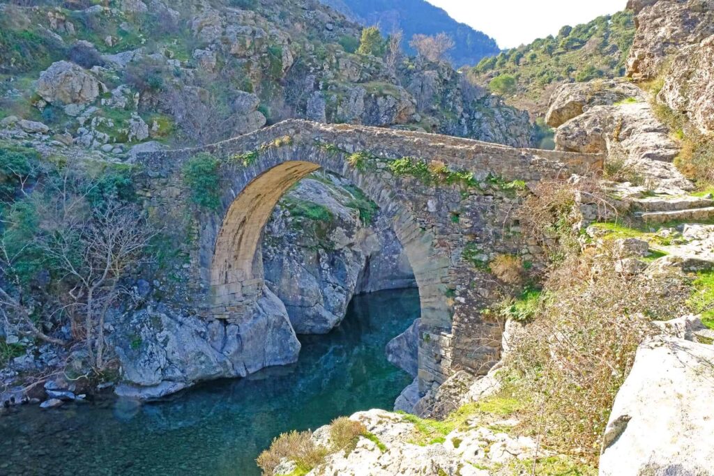
Discover untouched nature and the river’s emerald swimming pools on an exciting day-long 4×4 tour of Asco Valley. With the backdrop of Monte Cinto, Corsica’s highest peak, you will explore some of the island’s wildest corners. Bring your swimwear to enjoy a dip in the torrent’s crystal clear water.
TRAVELLER’S COMPANION FOR A TRIP TO CORSICA – GRAB YOUR EBOOK!
33 Natural Pools and Waterfalls in Corsica
Descriptions – Directions – Coordinates
VISIT CORSICA’S NATURAL POOLS – GRAB YOUR E-GUIDE
Discover Corsica’s natural pools and waterfalls with a concise guide featuring 33 stunning river spots across the island. Perfect for wild swimming, family outings, and nature exploration, it provides clear access details, GPS parking coordinates, and nearby attractions. From peaceful basins to dramatic cascades, it helps you safely navigate the island’s rugged landscapes and uncover hidden gems beyond well-trodden tourist paths. Great for planning outdoor adventures, this practical 51-page eBook may be your companion on a journey to Corsica’s pristine rivers.
YOU MAY ALSO LIKE
- Where to stay in Corsica – best places and areas for your visit
- Best places to stay in Corsica for couples
- Best time to visit Corsica
- Corsica – where to go and what to do
- Visiting Corsica – how to get there
- 11 Most beautiful hiking trails in Corsica
- 7 Magical waterfalls in Corsica every nature lover should see
- Is Corsica an expensive travel destination – money guide for visitors
- Getting around Corsica – do you need a car?
- Top 3 destinations for a car-free holiday in Corsica
- Is Corsica a safe place to visit – travel advice and tips
- What to avoid in Corsica – 11 common mistakes
- Driving in Corsica – tips and scenic routes ideas
- Visiting Corsica in winter – the ultimate travel guide
PLANNING A TRIP TO CORSICA? CHECK OUT THESE RESOURCES!

PLANNING A TRIP TO CORSICA? CHECK OUT THESE RESOURCES!
Liability Disclaimer
All outdoor activities are carried out at your own risk. Always plan ahead and be cautious when preparing for your hikes. The author of this blog cannot be held responsible in the event of an accident, death, loss, personal injury, or any other inconvenience or damage that may be sustained by anyone as a result of the use of any information contained on this website.

